Legend
Base Layer
- Title
- Paracou Geographic Platform (temporarily under construction)
- Description
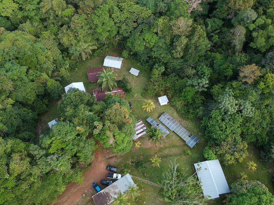
- Photo © Bérenger Lacombe
Paracou research station is a large-scale forest disturbance experiment set up by the Cirad in 1984 on which trees, in more than 125 ha of permanent plots, have been periodically censused since then. Paracou hence offers a unique setting for studying long-term dynamics of tropical rainforest. The censuses data are available on an online platform and in a dedicated data repository. Paracou is part of the Guyafor network: permanent plots dedicated to long-term studies about forest dynamics and biodiversity.
The Paracou geographic platform provides access to a broad collection of environmental and biodiversity datasets and spatial layers, with some downloadable spatial layers (GeoJson format). The present data dictionary covers the metadata related to:
- Data sources and contacts (see Appendix 2);
- Access rights;
- Data description;
- Geometric accuracy;
Scientific coordination: Dr Géraldine Derroire
Cirad – Unité Mixte de Recherche Ecologie des Forêts de Guyane, Geraldine.Derroire@cirad.fr
Technical coordination (up to 2020), project manager and GIS specialist: Aurélie Dourdain
Cirad – Unité Mixte de Recherche Ecologie des Forêts de Guyane, Aurelie.Dourdain@cirad.fr
Technical coordination (from 2020): Laëtitia Proux
Cirad – Unité Mixte de Recherche Ecologie des Forêts de Guyane, Laetitia.Proux@cirad.fr
Data manager: Dr Gaëlle Jaouen
AgroParisTech - Unité Mixte de Recherche Ecologie des Forêts de Guyane, Gaelle.Jaouen@agroparistech.fr
Web developer: Elie guedj
Cirad – Unité Mixte de Recherche Ecologie des Forêts de Guyane
Paracou research station: https://paracou.cirad.fr/
Unité Mixte de Recherche Ecologie des Forêts de Guyane: http://www.ecofog.gf/
Cirad: https://www.cirad.fr/en/home-page - Organization
- CIRAD - UMR EcoFoG
- Person
- Gaëlle Jaouen
- gaelle.jaouen (at) agroparistech.fr
- Phone
- 0594 (0)5.94.32.92.13
- Website
- https://paracou.cirad.fr/
- Projection
- EPSG:3857
- Extent
- -5940718.24060960486531258, 547079.49541481910273433, -5809253.89739743247628212, 621217.31556388316676021
- Web Map Service
- WMS Url
- WMTS Url
Selection
Measures
Permalink
Scale